[]
Your ongoing selection
Asset(s) Assets
Your quote 0

Your selection

Clear selection
{"event":"pageview","page_type1":"catalog","page_type2":"image_page","language":"en","user_logged":"false","user_type":"ecommerce","nl_subscriber":"false"}
{"event":"ecommerce_event","event_name":"view_item","event_category":"browse_catalog","ecommerce":{"items":[{"item_id":"BL3288971","item_brand":"other","item_category":"illustration","item_category2":"out_of_copyright","item_category3":"standard","item_category5":"not_balown","item_list_name":"search_results","item_name":"map_of_the_turkish_empire_17th_century","item_variant":"undefined"}]}}
Metadata Block (Hidden)

Contact us for further help

High res file dimension

Search for more high res images or videos

Map of the Turkish empire, 17th century.

IMAGE number
BL3288971
Image title
Map of the Turkish empire, 17th century.
Auto-translated text View Original Source
Location
British Library, London, UK
Image description

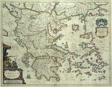
A mapp of the estates of the Turkish Empire in Asia, and Europe / Designed by Mons[ieu]r Sanson . . .; rendered into English, and ilustrated [!] with figurs [!] . . . by Richard Blome . . . Anno 1669.; Francis Lamb Sculp. Author: Blome, Richard / Illustrator: Blome, Richard London: Printed for Richard Blome, 1669. Source/Shelfmark: C.39.d.2 page 4-5

Photo credit
From the British Library archive / Bridgeman Images
Image keywords
Turkey / Europe / Middle East / cartography / colours / color / maps / map / 17th century / cartographic / colour / europe / carte
Leave the work to our dedicated Account Managers
License details
Your details
*
*
*
*
*
Asset - General information
Copyright status
No Additional Copyright
Permissions
More info
Permission required for non-editorial use (inc book and magazine covers). Please contact us
Largest available format 5622 × 3984 px 18 MB
Dimension [pixels] Dimension in 300dpi [mm] File size [MB]
Large 5622 × 3984 px 476 × 337 mm 18.0 MB
Medium 1024 × 726 px 87 × 61 mm 1.1 MB

Similar Images